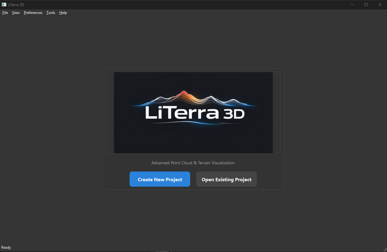
About LiTerra 3D
Choose your own adventure by rendering real, publicly available data.
LiTerra 3D in Action
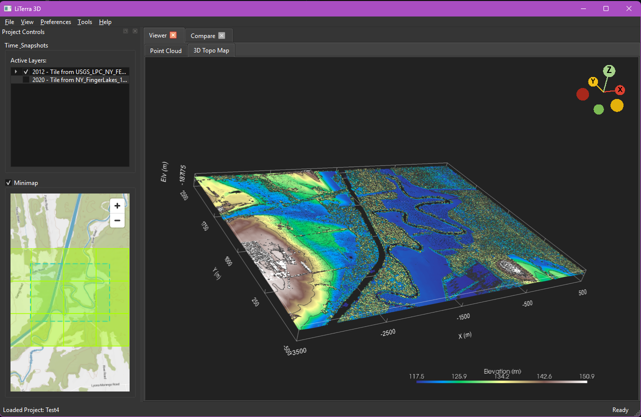
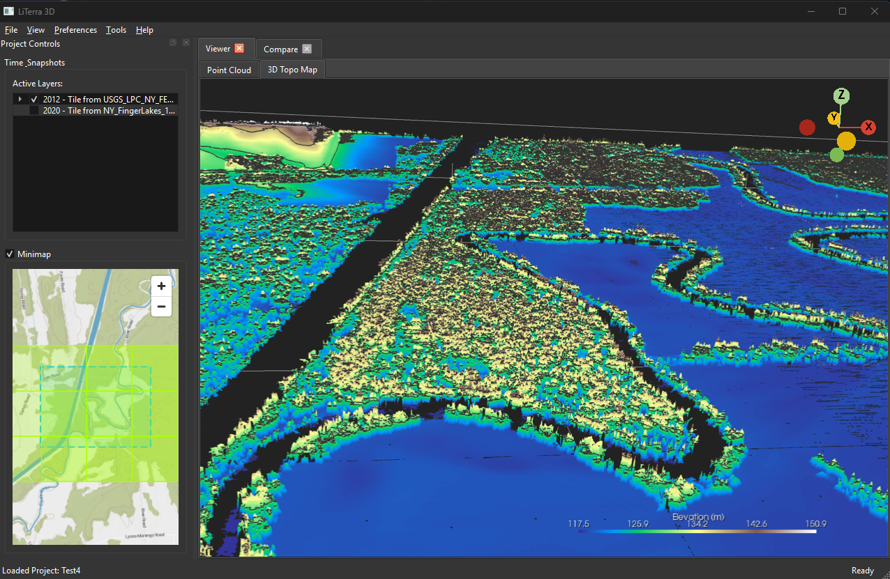
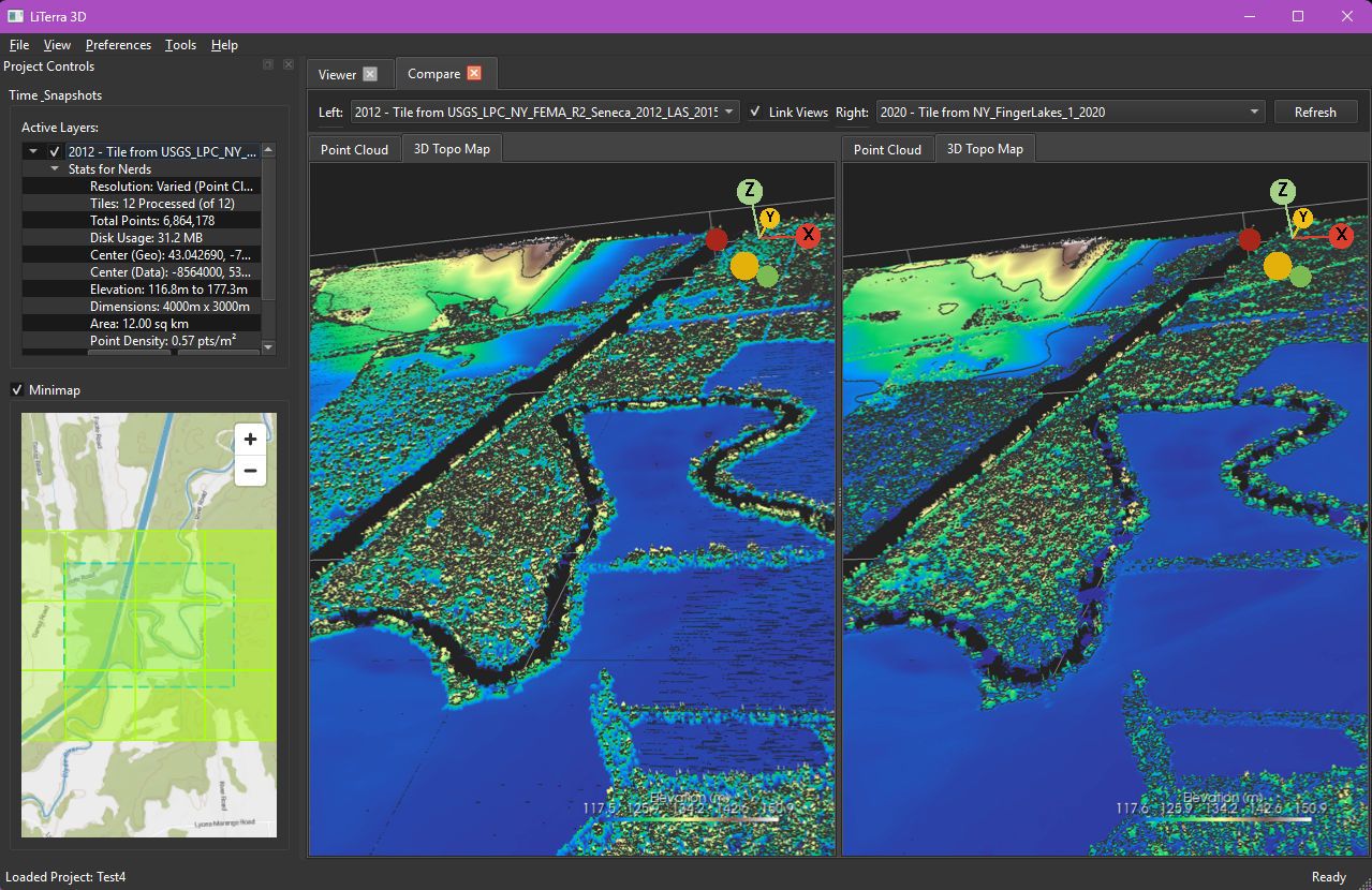
Real-time visualization and point cloud rendering workflows
Our Mission
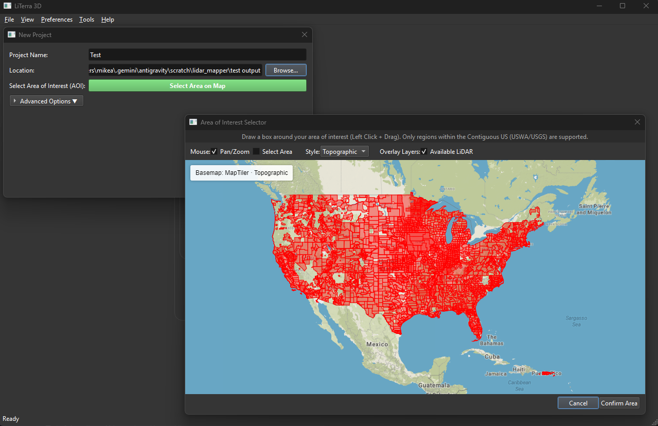
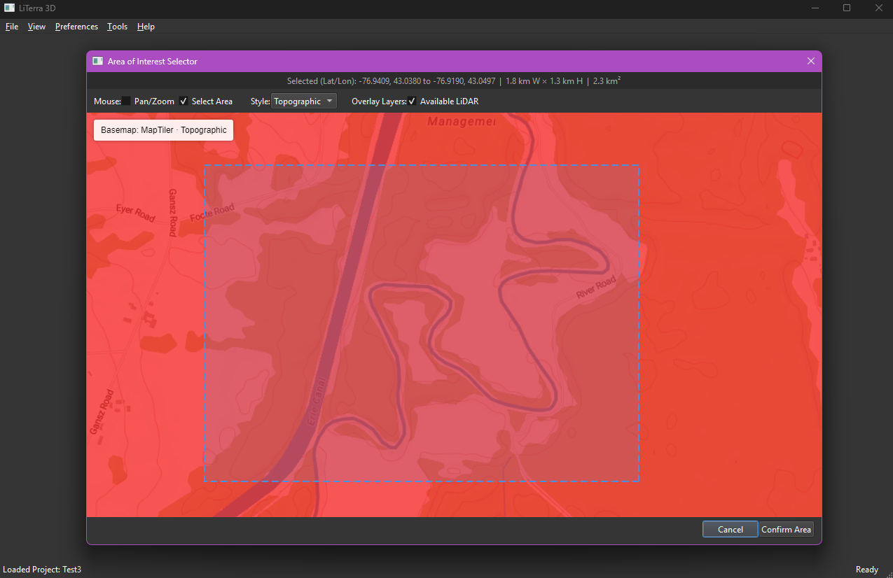
LiTerra 3D was created to make viewing and processing LiDAR point cloud data accessible. It allows users to visualize and analyze real-world terrain data, bridging the gap between raw data sets and an understandable visualization.
Technology
The application processes point cloud data natively and renders data based on the capabilities of your local hardware. This approach allows you to view and interact with dense terrain models on your personal machine efficiently.
The Future
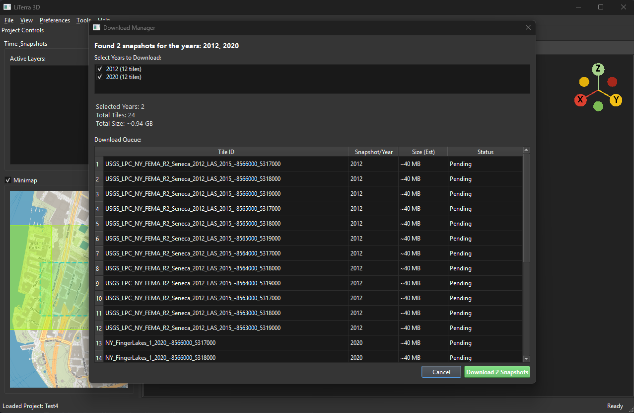
We aim to continue improving the tool's stability and adding useful features like historical data comparison and easier data selection workflows, building a robust platform for terrain exploration.